Global Environments
An interdisciplinary unit for a Year 6 class with a gifted cluster
Please note: Pre-testing needs to occur as there may be students who have high potential and high interest in this topic, but who may not be identified through current school procedures or programs. Pre-testing requires a response that shows understanding and mastery of one of three questions e.g., How is survival of living things affected by physical conditions of their environment? Describe an example of a sudden geological change or an extreme weather event and how it has affected an environment on Earth? Explain an example of an interaction and connection between people, places and environments.
The focus of the unit is on developing student understanding through a study of the world’s cultural and physical (including that of its indigenous peoples), and how this connected to diverse environments.
A creative and engaging multi-disciplinary group activity is located at the end of this unit and this will extend the learning content, processes and products.
Unit designed for a Year 6 class with a gifted cluster
Content description
- (General) A student understands that the growth and survival of living things are affected by physical conditions of their environment (ACSSU094)
- (Extended) A student understands and can describe that the diversity of the growth and survival of living things are affected by physical conditions of their environment, including human interactions.
- (General) A student can articulate what sudden geological changes and extreme weather events affect Earth’s surface (ACSSU096)
- (Extended) A student can articulate what sudden geological changes and extreme weather events affect Earth’s surface and can investigate and compare major geological events such as earthquakes, volcanic eruptions and tsunamis in Australia, Asia and around the world.
- (General) Identify and explain how analytical images like figures, tables, diagrams, maps and graphs contribute to our understanding of verbal information in factual and persuasive texts (ACELA1524)
- (General) Select, navigate and read texts for a range of purposes, applying appropriate text processing strategies and interpreting structural features, for example table of contents, glossary, chapters, headings and subheadings (ACELY1712)
- (General) Use a range of software, including word processing programs, learning new functions as required to create texts (ACELY1717)
- (General) Construct and use a range of representations, including tables and graphs, to represent and describe observations, patterns or relationships in data using digital technologies as appropriate (ACSIS107)
Elaborations
- Scientific understandings can assist in natural disaster management to minimise impacts to restore a balance to environments
- Connecting that one natural disaster can lead to another e.g., earthquakes causing tsunamis
- The impact that people of diverse cultures have upon the environments in which they live
Critical and Creative Thinking
- Pose questions to clarify and interpret information and probe for causes and consequences
Strategies for Aboriginal and Torres Strait Islander learning
- Investigate Aboriginal and Torres Strait Islander people’s knowledge of the physical conditions necessary for the survival of certain plants and animals in the environment
- Story sharing: locating and sharing Aboriginal and Torres Strait Islander people’s cultural stories that provide evidence of geological events
- Dreamtime stories about the formation of Australia
- Creating new knowledge by understanding the diversity and connections to the environment of different cultures and how they compare to Aboriginal and Torres Strait Islander people’s connection to country
- Aboriginal and Torres Strait Islander people may wish to investigate their own culture’s approach to the survival of living things more deeply and bring new knowledge to their mob
- Guest speakers/experts from various professions and countries with expertise related to living things and their environments, and/or through personal experience with sudden geological changes and extreme weather events. These people can share their stories.
- Sustainable land practices in Aboriginal culture
Key Concept: Interdependence
Lesson 1
Content: Familiarisation with world geography and the location of countries in relation to Australia. An exploration of mapping and its symbols.
Process: Assess prior knowledge – in groups (gifted cluster grouped together), students complete a blank map of the world adding major features e.g., capitals, river systems, equator, tropics etc. Once prior knowledge is exhausted, use computers or atlases to check accuracy and add remaining countries. Identify the mapping symbols that are the common requirements of a map – title, key, labelling, border, directional arrow, scale etc. Why and how did these develop?
Discuss location of countries in relation to Australia using compass directions.
Product: Students (in self-selected groups – no size limit) use atlases to draw a huge outline of a country of choice on asphalt. Using drama and body skills, students become the main features inside the map outline e.g., body shaped like a building for cities, bodies in a line for a river. Students should be able to name features. Give students a sheet with half of a country (using different countries) drawn on it. Students use computers to find the other half and draw it. Add landforms and major features.
Differentiation: Generating – collaboration to share knowledge and ideas
Attribute listing – geographical features and mapping tools
Explore countries and features on Google Earth - explain how it works.
Extending concepts from Australia to the world
Questioning: What features shown on our maps can change and how might they change
e.g., cities grow, rivers flood or change course.
What if we had no maps?
What other types of maps are there and how do they work
e.g., treasure maps, topographical maps, astronomical charts, GPS’s, geo-caching.
Lesson 2
Content: How the position of a country impacts on climate/weather and how that in turn, impacts on the environment and on the culture of population.
Process: Discuss factors that create weather conditions. Show pictures, video clips etc. of extreme weather events., Discuss where this currently might be happening. How is this weather event affecting the living and non-living things? Why do different countries have different climates? Lessons in latitude and longitude, contour (how to show height), proximity to oceans. Play a modified game of ‘Battleships’ on paper using degrees of longitude and latitude to consolidate concept.
Product: Interdependence Boxes: each student chooses a specific region of a country e.g., Daintree Rainforest, volcanic regions in NZ, Sahara Desert. Students put six clues in a box from their chosen geographical region without stating the location of region. Students share their clues with the class, from hardest to easiest. After each clue, the class can attempt to guess where the region might be. Suggestions for inclusion: map showing country and area where region is located, short information text on how the climate impacts the environment e.g., rainfall in the rainforest, pictures and description of the human inhabitants of the region, a description and/or images of the culture of the inhabitants and how the weather impacts that culture and living things. Further suggestions include clothing of the Inuit, a model or video clip of an insect, reptile or animal from the region and how it has adapted to the climate, a sample of an artwork showing region and climate, food of the region and why that food is dependent on weather and location, a description of the religion and how it intertwines with the weather and landforms, a short PowerPoint showing features of the environment of the region, a short text on the economic circumstances of the inhabitants and how the weather has impacted on these, architecture or dwellings of the inhabitants and how climate has been taken into consideration in the design, longitude and latitude of the region, a natural disaster that has occurred in the region and how the inhabitants are mitigating for future events and finally, any other examples of the interdependence of the people, land and climate.
Differentiation: Student choice
Integration across disciplines
Transfer of knowledge
Open-endedness
Questioning: deep questioning and deep thinking will be engendered by the
Interdependence Boxes
Lesson 3
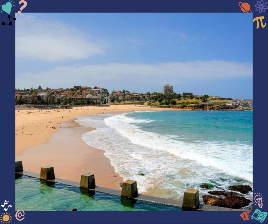
Content: The diversity of global environments. Some examples of global environments include geo-thermal, deserts, polar, tundra, reefs, altiplano, mountains, plains, atolls & islands, canyons, foreshore, rainforest, wetlands, forests, harbours, grasslands, rivers, food bowls, rock formations, lakes, marine, (rift) valleys etc.
Process: Brainstorm and describe different global environments. Use the global environments from the Interdependence Box activity as a springboard.
Product: In pairs or singly, locate and name an example of each global environment from the list on a world map. Introduce the word ‘biome’. Map Australian landforms – rivers of all states, seas & oceans, capes, mountains, deserts, reefs, lakes, valleys, rainforests, wetlands, rock formations, bays, islands, national parks etc. Using varied technologies, such as Mapmaker, students research an environmental issue associated with some of these biomes. Study the scientific understandings that could assist in environmental management to minimise impacts and restore a balance to these environments. Probe for causes and consequences.
Differentiation: Analogy
Using controversy and provocations to problem solve
Generating – brainstorming
Questioning: What is an ecosystem?
What does an ecological balance look like in the various environments?
Can one be harmed by an environmental management action even if one benefits overall.
Why is the Simpson Desert (or landform of choice) located where it is? Why isn’t it located elsewhere?
What biome are you most like and why (analogy)?
Lesson 4
Content: The impact of geological changes and extreme weather events on global environments and how these events are measured.
Process: Brainstorm the types of disasters that result in changes to the environment (e.g., tsunamis, volcanoes, earthquakes, cyclones, fire, flood, drought, global warming). How are these events measured (e.g., Richter scale, Beaufort scale, coastal tide gauges, Volcanic Explosivity Index). What inventions have increased scientific knowledge about natural events that cause rapid changes at the Earth's surface? Investigate a natural disaster or environmental tragedy. What global environments were affected and how? Invite a member from the emergency services to speak on the strategies for dealing with a specific natural disaster. Invite a geologist to discuss landforms, tectonic plates or geological events.
Product: Choose a global environment or biome that has experienced a natural disaster. Students can work singly, in pairs or in groups to create a news broadcast describing what happened, the impact on the environment and on the people, the response by emergency services and others and the long-term consequences and changes. Various perspectives can be considered: emergency crews, TV news team, victims etc.
Differentiation: Scrutinising underlying ideas
Connections to real-life purposes and contexts
Skills of search
Questioning: How could this disaster have been prevented?
What detection systems already exist and how can they be improved?
(STEM task) How could people work with nature to help restore environments after disasters?
Lesson 5
Content: Investigate the cultural diversity of the local area
Process: Break students into 4 groups (mixed ability) and investigate the cultural diversity of the class, school, local area and state. Use student generated surveys and data from the Australian Bureau of Statistics to locate this information. Invite a statistician to make this subject child-friendly with reference to the ABS.
Product: Representatives from each group report their findings to the class using computer-generated graphs and tables. Ensure everyone has a role. The gifted cluster then compares and analyses the results from the class, school and local area with the state data, and answers the question: Do results from the class, school and local area mirror the state’s cultural diversity and if so, how? While the gifted cluster is working on the analysis, the rest of the class can be identifying the natural and built environments that help the survival of the community. How might each cultural group interact with the places in the local environment? Both groups report back to the class.
Differentiation: Applying new skills and knowledge to a different context e.g., constructing and analysing
surveys, statistics
Using real world problems from the local community
Providing opportunities for students to learn advanced level content through mentoring
(guest speakers) and enrichment provision
Questioning: How does population growth affect environments?
How can diversity in populations improve environments?
What kinds of specific changes could occur in our class, school and local area? Elaborate.
Lesson 6
Content: Building deep understanding of cultural knowledge by investigating a group of indigenous peoples, including their unique customs and beliefs related to their environment.
Process: Help students develop an open-ended geographic question that provides the class with direction for an investigation or research regarding indigenous people. Negotiate clear criteria to guide students in their research. The question should promote analysis of the interdependency between the human world and the natural world.
Product: Students create a multimodal ‘tour’ of the lived experience of an indigenous group, (using a sequence of images and other multimedia such as music, voice-over, text, sound effects, film, interviews etc). Share with the class. At the conclusion of the presentations discuss how people around the world differ in their interactions with their environment.
Differentiation: Compare and contrast two indigenous cultures instead of one.
Expectation that some students will choose a lesser known indigenous culture to extend
themselves e.g., Sami over Inuit, Orang Asli, Hmong, Dayak, Okinawans, a specific
Aboriginal group e.g., Kamilaroi over all Aboriginal people
Choice – increases engagement
Questioning: How have indigenous peoples adapted to their environment?
Consider some of the challenges indigenous peoples face in maintaining:-
their traditions, their way of life and their ability to look after their environment.
Give some examples e.g., Dayak.
What interconnections do we, as Australians, have with the indigenous peoples that have been studied?
Appendix 1
BIOME BAZAAR
Groups of four students will work through the activities below to create a biome, which will form a total learning environment in the classroom. Each group will choose a biome and set up a display in the classroom. Invite parents and other classes to share the learning, providing an authentic audience. Adequate time will be needed for students to set up their biome display. As work is handed in at the end of each two-week period, evaluate and store the work for the ‘Bazaar’.
Due end of Week 2
- Identification and a detailed written description of the biome
- A map of the biome showing latitude and longitude, physical and political boundaries, built and natural environments, and other landmarks
- An example of change that has occurred in the biome – presented as a series of art works or a flow chart
- How human interaction has shaped the biome – presented as an infographic or timeline
Due end of Week 4
- A report on what the biome needs to be ecologically sustainable including a section on the effects of climate change and the implications of this. Include possible resolutions
- Identify the plant species that exist within the biome – to be presented as a book with a glossary or a chart with labels
- Identify the animal species, both vertebrate and invertebrate, that exist within the biome. Describe them and evaluate the interdependency. Present as a diorama or a series of cards or a food web
Due end of Week 6
- A mobile of a cultural group living in the biome with aspects of culture, including traditional clothing. On the reverse of each image state how this culture interacts with their environment
- A letter to the editor, or signs for a protest march, from a fictional or real organisation that exists to protect this biome, arguing about a relevant issue
- A cross sectional diagram of part of the biome
- How this landform was formed presented as a poem or poster
Due end of Week 8
- A plan of the biome setup for the display day – a drawing, setting-up procedures (who will bring what, who will do what, a plan for running the biome throughout the day)
- An interactive activity designed to teach your audience about your biome
- Any other aspects and inclusions you wish to add e.g., videos, photos, advertisements, collages, charts, sound effects, documentaries, models, pamphlets, book display, to create a total learning sensory environment
Post - event
With the students evaluate the plan and management of the biome, the information products and processes for themselves and for the needs of the particular audiences. Evaluate the learning.
Extension and enrichment / Homework Tasks
Rainforest
- Make a chart that classifies creatures of the rainforest into omnivores, herbivores and carnivores.
- Investigate the role and nature of detritivores.
- Design a board game using fact cards on animals in the rainforest.
- Examine the crucial role played by bats or birds in the rainforest.
- Research the early explorers of the Amazon Basin.
- Investigate a career to do with rainforests. Prepare a one-minute talk.
- Who are Chico Mendes or Marina Silva and how have they contributed to protecting rainforests?
Polar
- What is a food web? Draw a food web for the Southern Ocean.
- Report writing – How are the Antarctic and Arctic regions the same and how are they different? Include maps, diagrams of landforms, graphs, tables etc. A large Venn diagram is an alternative product.
- What makes Antarctica a unique continent?
- People working alone in Antarctica enjoy the isolation. Do you think there is a difference between solitude and loneliness? Can you be on your own without being lonely? Explain.
- Research one of the following people under the following headings: Birth & Early Life, Adult Life & Achievements
Robert Byrd. Asimov, Perry, Sir James Clark Ross, Douglas Mawson, Roald Amundsen, Robert Scott, Ernest Shackleton, Sir Edmund Hillary, Will Stegar, Ann Bancroft, Tim Bowden, Captain John Davis, George Hubert Wilkins, John Rymill,Philip Law, Edgeworth David, Dick Smith
- There are no natural smells or sounds in the Antarctic (except for the wind). Write a poem to convey the feelings of isolation and the effect on the senses. (Can relate to isolation in general e.g., even in the middle of a city.
- Why are the polar ice caps only at the poles?
- Chart information from the Mawson weather station.
- Describe the changes necessary to cover your location with an ice cap.
- List five reasons the polar ice caps are important.
- Why is Antarctica so cold?
- What is the only direction you can travel when you are at the South Pole? Please explain.
- How will the ozone hole affect the Antarctic food chain and you?
- If Antarctica is a desert where does all the ice come from?
- What is the Antarctic Convergence?
- Create a map of how the world would look if the polar ice caps melted. Describe life using this scenario.
- Why do icebergs float? Demonstrate and explain how this happens.
- Since Antarctica is a perfect example of 'terra nullis', it doesn’t have a flag. Design a flag for Antarctica. Write why your design would be a good representation for the continent.
- Design a travel brochure to make an Antarctic holiday irresistible to tourists.
Created by Lynda Lovett
Share this resource
Resources